Most fleet managers use GPS technology to track commercial vehicles and plan routes. Fleet managers are adopting geofencing to automate manual yard checks, improve security, and track commercial vehicles at customer sites. In freight and logistics companies, geofencing is valuable for monitoring fleet vehicles. With the technology, fleet companies can create virtual boundaries around specific geographic locations. For instance, fleet managers can create a geofence around warehouses and distribution centres. When the virtual boundary is in place, fleet managers can track and facilitate events around the geofences, such as trigger alerts, send push notifications and track vehicle fleets. Using GPS-based geofencing delivers numerous benefits, from operational efficiencies and better visibility to improving the safety of shipments.
What Is a Geofence?
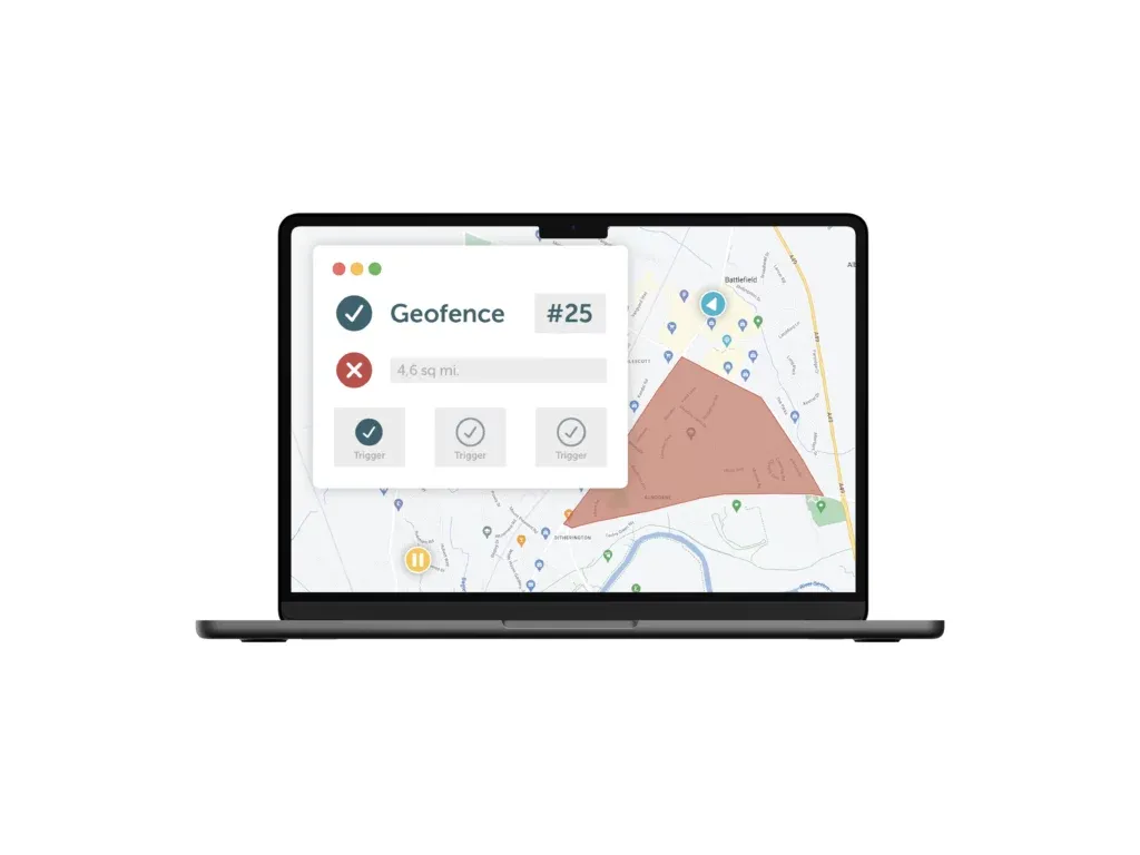
A geofence is a virtual fence corresponding to a real-world geographic area. Geofences create a perimeter around the physical location, separating the designated location and nearby areas. When a fleet manager creates a geofence, they define its virtual boundary. That means movement outside the designated boundary will set off an alarm. A geofence can be of any size or shape, depending on the designated operation area of the commercial vehicles. Geofences are developed using mapping software, which allows the fleet manager to draw a geofence over the geographic area using coordinates.
What Is Geofencing in Fleet Management?
With geofencing, a fleet manager can limit the fleet’s movement to particular routes. Any deviation from the boundary will trigger an automatic alert. Geofencing is like creating a virtual boundary to know when fleets cross the boundary thresholds. The fleet manager can also use geofencing to receive precise data on wait times in designated locations. Recording information on the movements of commercial vehicles reveals trends in outbound and inbound load schedules. Hence, fleet managers can improve route plans, resolve delays and reduce downtimes for fleets.
In logistics and transportation industries, knowing the arrival of trucks in real time is crucial. If the logistics company delivers high-value goods, asset auto-start using geofencing improves visibility in the supply chain. For instance, with geofences, fleet managers know when vehicles leave or enter a designated area. Notifications are issued, and delivery timetables are automated to improve customer satisfaction. When a shipment is late, an alert that offers an updated arrival time is sent to the client.
How Fleet Managers Are Using Geofencing in Fleet Operations
Some of the ways fleet managers are using geofencing include:
- Automating yard checks: Most logistics and transportation companies perform yard checks to verify the presence and status of trucks in the yard. Manual yard checks make it hard to keep up with routine checks. Geofencing automates yard checks by recording when a truck enters or leaves the yard. Since the geofence is created, there is an alert when a vehicle leaves the designated area, and the fleet manager doesn’t have to verify them manually.
- Checking idling times: From the yard check-ins, fleet managers can spot trucks that sit idle for long periods. If the fleet manager doesn’t monitor the activities manually, some vehicles may be underutilised when managing a large fleet. With an automated report from geofencing, fleet managers can spot vehicles with the highest downtimes and find ways to utilise them.
- Verifying timesheets: A geofencing solution can verify driver timesheets and overtime requests. For instance, a manager can confirm trailer departure and arrival times by checking the GPS data. Fleet managers receive alerts when drivers leave the yard during off-hours to understand the driver schedule. When used with a telematics solution, it eliminates the need for timesheets, and fleet managers can alert drivers when they are required to take a break.
- Tracking vehicle deliveries in real time: Fleets that transport high-risk loads require real-time tracking to minimise theft. Geofencing provides updates on the location of the vehicle. Fleet managers can contact the relevant authorities when a vehicle departs from the designated location. Tracking vehicles using geofencing also helps identify assets that are being misused.
The Importance of Geofencing for Fleets
Some benefits of using geofencing in fleet management include the following:
- Improves efficiency and reduces administrative tasks: Monitoring fleets is a time-consuming process that involves many administrative tasks. For instance, fleet managers receive check-in phone calls, send customers ETA alerts and monitor service hours. Geofencing minimises this administrative burden and improves efficiency in daily operations. It automates check-ins for drivers, sets geo-boundaries and eliminates the need for managers to manually monitor their vehicles. Hence, fleet managers have more time for core business tasks.
- Improves asset deployment and planning: Geofencing in fleets relies on GPS tracking, allowing fleet managers to know where vehicles are located at any given time. With valuable geofencing and GPS data, fleet managers can adjust proposed trips, estimate the ETA and maintain delivery schedules. Collecting information also enhances operational planning and scheduling.
- Increased security and theft protection: Creating geofences enhances fleet asset tracking and security since fleet managers receive alerts when trucks go beyond the approved routes. If a vehicle is in the wrong place, fleet operators will receive real-time geofenced alerts to check into the incident. If assets are stolen, real-time geofenced alerts enable timely action.
- Improves performance and efficiency monitoring: Fleet managers supervise the performance of vehicles and drivers’ behaviours using geofences. Combining GPS tracking with geofencing provides valuable data and insights, such as turnaround times for transporting goods from one location to another or fuel expenditures and the operational costs involved. Fleet managers can monitor routes and use the information to set geofences.
Conclusion
Geofencing simplifies fleet management by providing real-time information on vehicle locations and drivers’ behaviours. From the geofences, fleet managers can automate various administrative tasks and improve efficiency through better route planning. Analytics and the generated reports provide valuable insights into fleet management operations. These insights help companies make informed business decisions to improve productivity and efficiency.
Sources:
- https://en.wikipedia.org/wiki/Geo-fence
- https://www.businessnewsdaily.com/10627-geofencing-understand-customers.html
Disclaimer
This content is provided for informational purposes only and is not meant to be an endorsement or representation by FleetGO.com or any other party. This information may contain inaccuracies or typographical errors, despite our efforts to ensure accuracy. FleetGO.com accepts no responsibility or liability for any errors or omissions, and is not responsible for the contents of any linked website or any link contained in a linked website. Please refer to our full disclaimer for more details.